Carrying out the alpha, beta, gamma, neutron measurements with reference to coordinates of GPS;
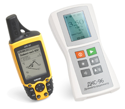
• Using any GPS device or a geodetic GPS receiver with COM interface and NMEA 0183 protocol;
• Setting the path of the radiation survey;
• Storage in the device memory of up to 2000 measurements with the 3D coordinates (longitude, latitude, height);
• Reading an archive of measurements with specialized software and saving it in common office file formats;
• Import of the finished report to geographic information systems (eg, Google Earth, GRASS, ARCGIS, MAPInfo) for further analysis.